Tutorial 5: Tools for Thought

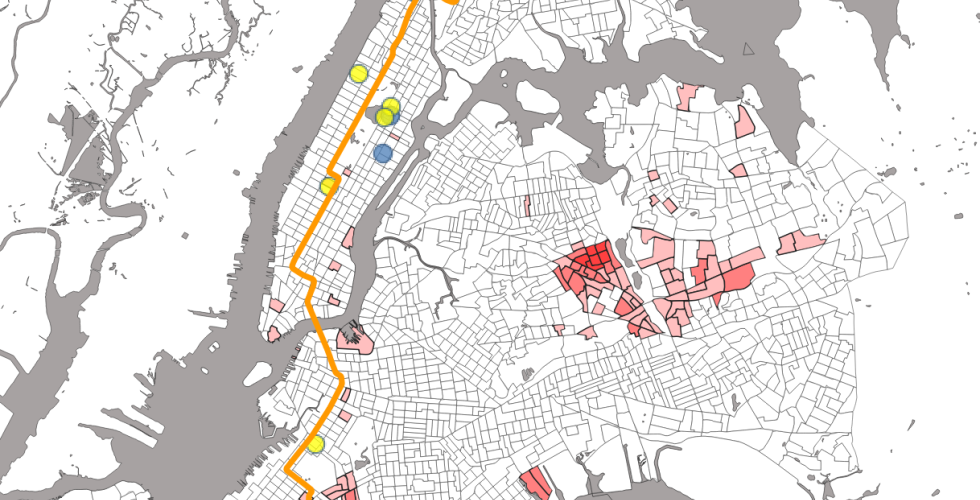
This tutorial briefly introduces several basic methods of geospatial analysis, including how to: Dissolve geographies and data into larger spatial units, calculate areas of geographies, calculate the sums, means and other summary statistics on the data aggregated into larger geographies, join information based on location ("spatial joins"), perform summary statistics inside a spatial join, build a buffer around a feature, select features by location - in this case proximity to a line.