Tutorial 4: Telling Stories with Maps

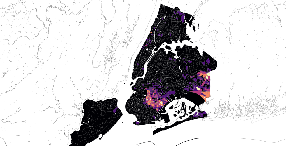
This tutorial outlines how to deploy basic tools in QGIS to tell stories across multiple layers. The goal in this session is to learn approaches to make your maps compelling visual arguments. The final products should make sense at first glance, and convey your desired narrative or analysis. Topics covered: Quantitative symbology & classification, Subsetting data layers, Querying by attribute, Layout & exporting maps.