Tutorial 3: Digitizing Features from a Georeferenced Map
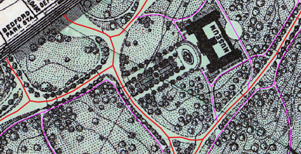
In this exercise, you will create your own dataset by outlining the trees that were represented in the "1902 map or plan of that part of the Borough of the Bronx, City of New York, lying easterly of the Bronx River" that was georeferenced in Tutorial 2. Making new data from historic maps is a fairly common, if laborious, practice. In many cases, the data we are interested in is not digitized, so we have to translate it ourselves. This process can be compared to digitizing books handwritten in script by typing them. It is time-intensitve, but sometimes, it is the only way to get the data we need in a format a computer can read. Through this tutorial, you will explore some of the on-screen hand digitizing tools available in QGIS and use them to digitize trees, paths and other features from a georeferenced map. In essence, you will be converting raster spatial data into vector-based features.