Tutorial 2: Georeferencing a scanned paper map

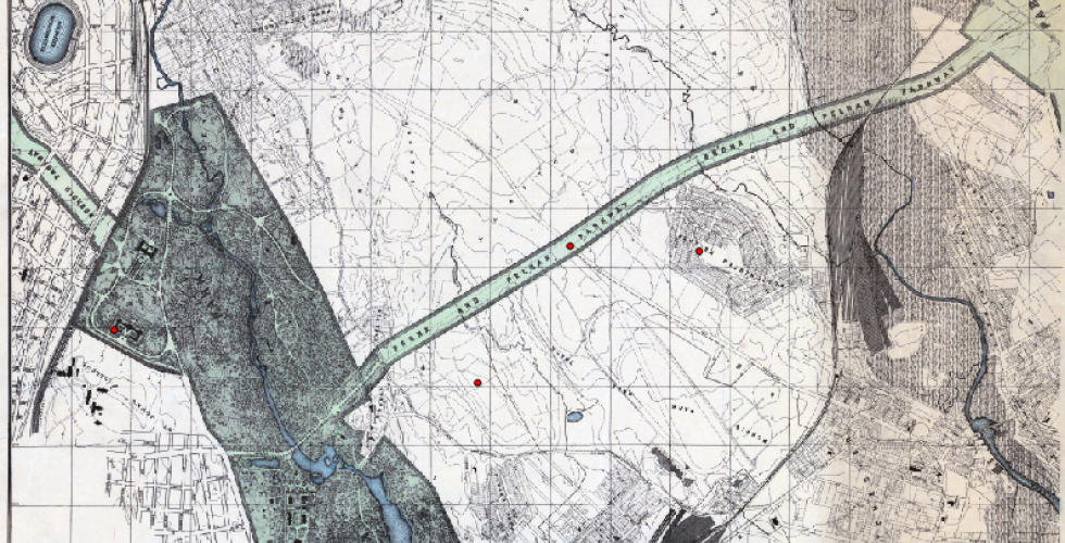
In this exercise, we will create spatial data from a scanned paper map. The first thing we need to do to transform a scanned paper map into a map that a computer can read is to georeference it. This means that we will match spots on the image with coordinates on a map. Though we will use a webmap for this (Open Street Maps), it could be done with any map that has coordinate information embedded in it. In the second part of this tutorial, we will take this georeferenced map and digitize some of the features on it to make a new dataset that can then be used with this map or imported into other projects as a shapefile itself.