Tutorial 0: Getting Started

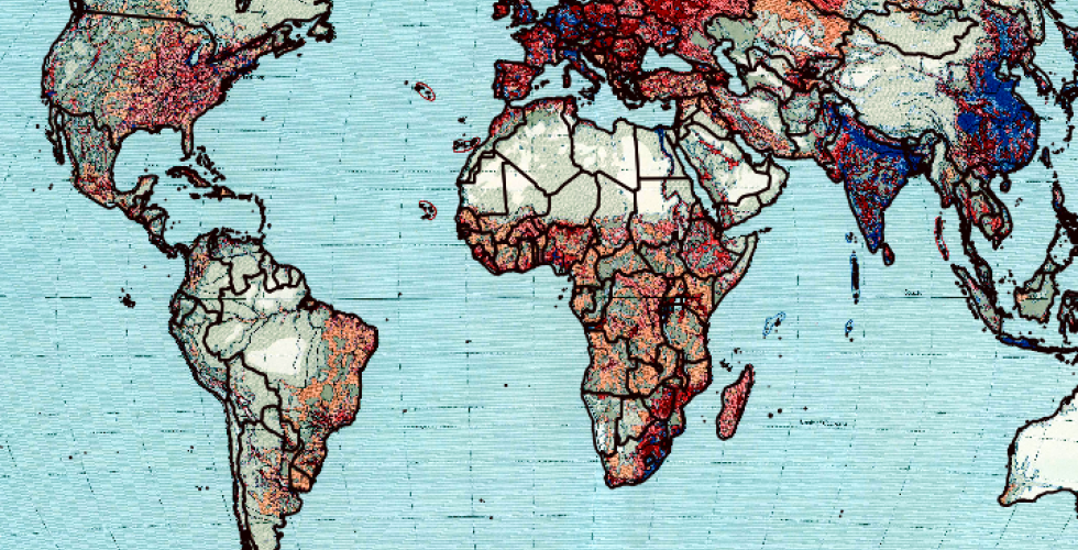
This tutorial will introduce you to the QGIS interface, exploring a environment and a handful of its options. In doing this, we will set up the layers needed for the first tutorial (Tutorial 1)., exploring the QGIS environment and a handful of its options. In the process, we will start and save a map project, add vector- and raster-based spatial data to the map project, access the Attribute Table of a vector layer, change the symbology of a vector layer using qualitative attributes, and learn the basics of working with map projections.