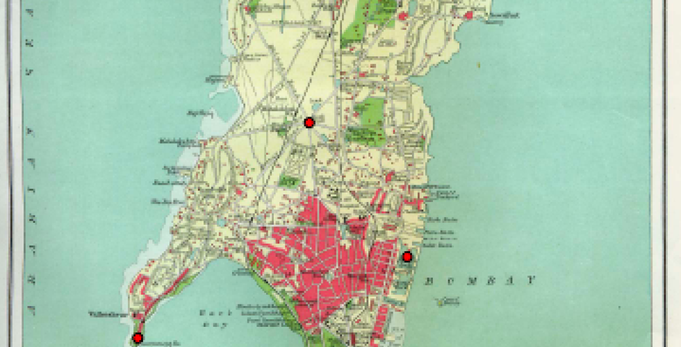
Georeferencing: Colonial Map of Mumbai

In this exercise, you will explore some of the georeferencing tools available in QGIS and use them to georeference a 1909 map of Mumbai, "Island of Bombay". You will learn how to use GIS tools to georectify raster datasets. You will then use the georeferenced map to digitize vector features from the map infomation.