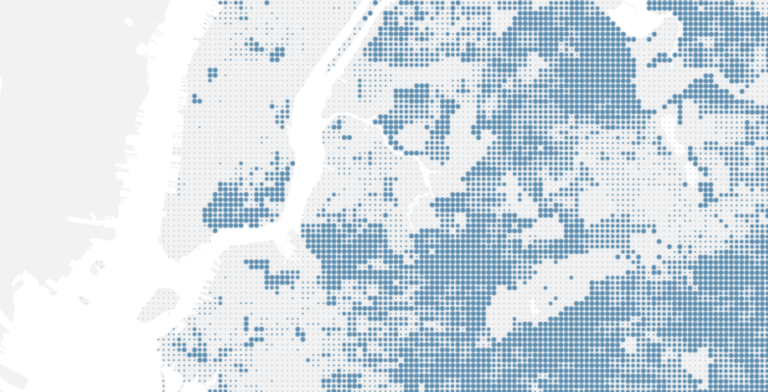
Percentage of the population with only high-school level education or less

This project is an analysis of New York City neighborhoods according to specific health, demographic and environmental metrics. We worked with the New York Restoration Project (NYRP), which is developing a master plan to renovate a network of open spaces in Mott Haven and Port Morris in the South Bronx. Over the next several years, NYRP will fund the renovations and build them. As a first step, we will capture baseline health data and quality of life indicators which we will track as the project progresses.
NYRP - The Haven Project
Justice Map Interface

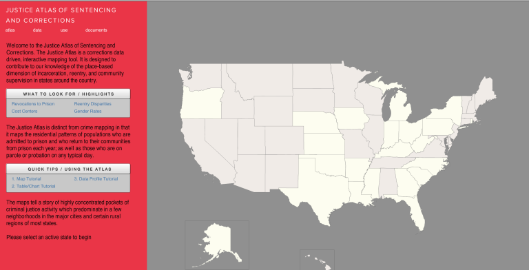
The Justice Atlas is distinct from crime mapping in that it maps the residential patterns of populations who are admitted to prison and who return to their communities from prison each year; as well as those who are on parole or probation on any typical day.  The maps tell a story of highly concentrated pockets of criminal justice activity which predominate in a few neighborhood in the major cities an certain rural regions of most states.

Justice Atlas of Sentencing and Corrections
SIDL Sandy Main Image

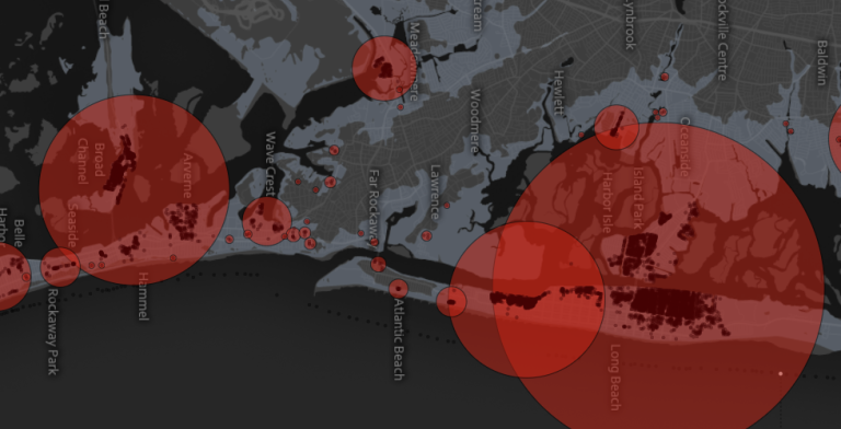
Superstorm Sandy made landfall in New Jersey on October 29th. Data generated by governments and volunteers in the weeks following the storm stand to provide critical insight into how the region was affected. These pages make such data visible, and serve as launching pad for further investigations and questions of the impact of the storm.

Superstorm Sandy