Hydropolitics in Madagascar
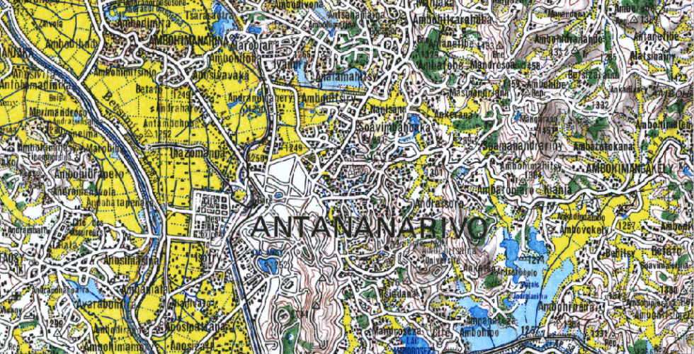
How do historic spatial inequities continue to resonate in the present? In this course we’ll look at the case study of Madagascar’s capital city, Antananarivo to explore how the historic politics of water management continue to inform and inflect the rapid expansion of the city today. We’ll consider the changes and threats to peri-urban agriculture, and map how the agricultural landscape in and around the city is shifting as people increasingly build on the flood plain. How does this mostly unregulated construction activity put different communities and activities at risk, and how might a better understanding of the long-term history of this irrigated landscape help assess the regions that are most threatened by the city’s growth? As part of this course we’ll be in conversation with students and faculty at the University of Antananarivo, to discuss and research these questions and to develop maps in consultation with them. The course is part of a series of Andrew W. Mellon Foundation-supported seminars on topics related to spatial inequality.
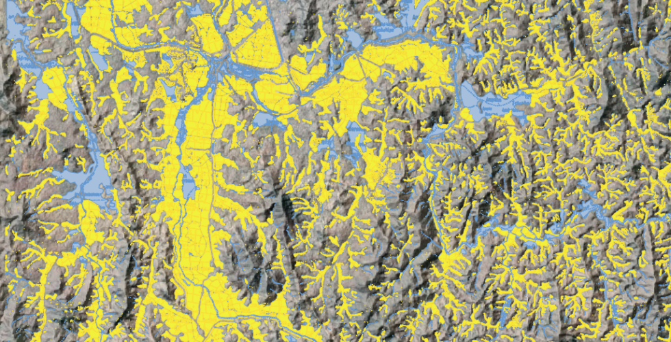
Over the course of the semester we will collectively construct a map of the landscape around Antananarivo, tracing the irrigation structures and rice fields from historic aerial photographs and satellite imagery. Students will also be expected to develop an individual research project around some aspect of Antananarivo’s water management. This class will have a strong GIS component and students will create their own maps as part of their research. These will be converted into web-friendly platforms using MapBox and/or Story Maps. Students will receive training in landscape analysis, digital (GIS) mapping and web-based presentations of geospatial data. Previous knowledge of digital mapping techniques is not required. This course is offered in conjunction with Columbia’s Center for Spatial research (C4SR); students with little GIS background should take this course in conjunction with the 1.5 credit digital mapping workshop Methods in Spatial Research (Architecture A4407).
Anthropology GU4066- 3 Credits Tuesday 4:10 -6pm, Call number: 13513 Zoë Crossland, Professor of Anthropology, Director Center for Archaeology Eric C Glass, GIS/Metadata Librarian, Research Data Services, Lehman Library