
Tutorial 5: Tools for Thought

Final Image Tutorial 5: Tools for Thought

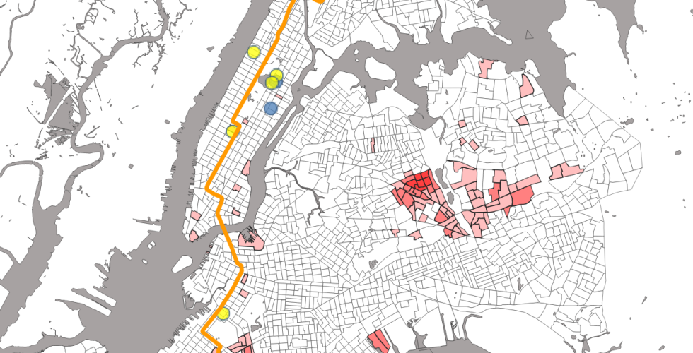
This tutorial briefly introduces several basic methods of geospatial analysis, including how to: Dissolve geographies and data into larger spatial units, calculate areas of geographies, calculate the sums, means and other summary statistics on the data aggregated into larger geographies, join information based on location ("spatial joins"), perform summary statistics inside a spatial join, build a buffer around a feature, select features by location - in this case proximity to a line.

Tutorial 4: Telling Stories with Maps

Final Image Telling Stories with Maps

This tutorial outlines how to deploy basic tools in QGIS to tell stories across multiple layers. The goal in this session is to learn approaches to make your maps compelling visual arguments. The final products should make sense at first glance, and convey your desired narrative or analysis. Topics covered: Quantitative symbology & classification, Subsetting data layers, Querying by attribute, Layout & exporting maps.

Tutorial 3B: Geocoding Historic Data

Geocoding Table

In this tutorial, you will make a map of newspapers in the United States before and after the invention of the rotary printing press in 1843. We want to visualize the effect of this technological change on the access to communication across the United States. By the end of this tutorial, you will be able to: identify types of data that can be used in GIS applications, transform data you find in a table into a csv file that can be used in QGIS, align that data to geographic locations using a gazetteer, query the data you collected to answer a research question.

Tutorial 3: Digitizing Features from a Georeferenced Map

Tutorial 3: Digitizing Features from a Georeferenced Map Final Image

In this exercise, you will create your own dataset by outlining the trees that were represented in the "1902 map or plan of that part of the Borough of the Bronx, City of New York, lying easterly of the Bronx River" that was georeferenced in Tutorial 2. Making new data from historic maps is a fairly common, if laborious, practice. In many cases, the data we are interested in is not digitized, so we have to translate it ourselves. This process can be compared to digitizing books handwritten in script by typing them. It is time-intensitve, but sometimes, it is the only way to get the data we need in a format a computer can read. Through this tutorial, you will explore some of the on-screen hand digitizing tools available in QGIS and use them to digitize trees, paths and other features from a georeferenced map. In essence, you will be converting raster spatial data into vector-based features.

Tutorial 2: Georeferencing a scanned paper map

Tutorial 2: Georeferencing a scanned paper map Final Map

In this exercise, we will create spatial data from a scanned paper map. The first thing we need to do to transform a scanned paper map into a map that a computer can read is to georeference it. This means that we will match spots on the image with coordinates on a map. Though we will use a webmap for this (Open Street Maps), it could be done with any map that has coordinate information embedded in it. In the second part of this tutorial, we will take this georeferenced map and digitize some of the features on it to make a new dataset that can then be used with this map or imported into other projects as a shapefile itself.

Tutorial 1: Mapping a Table

Tutorial 1: Mapping a Table Final Map

The purpose of this tutorial is to produce and export global map of population by country. For this we will use the national administrative boundaries layer in the previous tutorial, combining it with population data contained in a table. In the process, we will learn more about the QGIS interface, add a csv table to a map project, perform a table join, change the symbology of a vector layer using quantitative attributes, layout and compose a map, and export a finished map.

Tutorial 0: Getting Started

Raster Map

This tutorial will introduce you to the QGIS interface, exploring a environment and a handful of its options. In doing this, we will set up the layers needed for the first tutorial (Tutorial 1)., exploring the QGIS environment and a handful of its options. In the process, we will start and save a map project, add vector- and raster-based spatial data to the map project, access the Attribute Table of a vector layer, change the symbology of a vector layer using qualitative attributes, and learn the basics of working with map projections.